Geospatial technology encompasses tools, software, and methodologies used to gather, process, and analyze data tied to specific locations on Earth
 KRC TIMES NE Desk

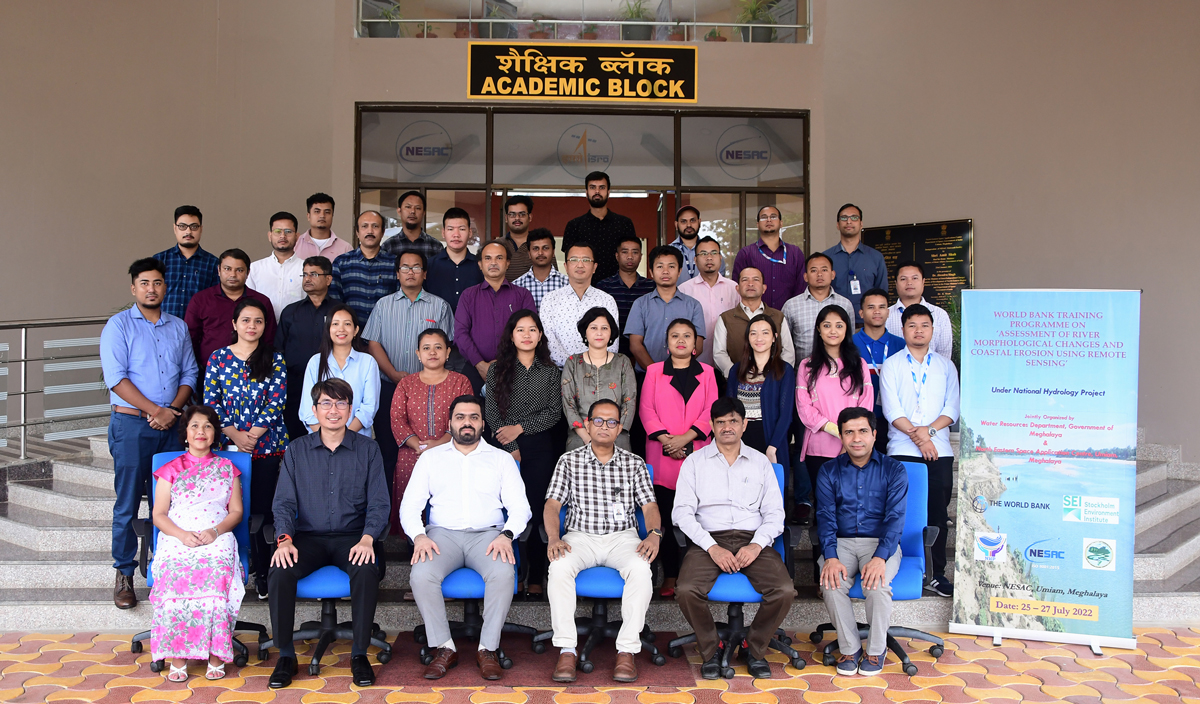
The North Eastern Space Applications Centre (NESAC) will train around 50 women in the use of geospatial technology. This initiative, announced by an official on Sunday, aims to equip women leaders with advanced technical skills to better serve their communities.
Geospatial technology encompasses tools, software, and methodologies used to gather, process, and analyze data tied to specific locations on Earth. This technology is instrumental in various applications, including agriculture, water and soil management, and environmental monitoring.
The intensive two-day training session, scheduled for late May, will be conducted at NESAC’s Umiam office. The program is a collaborative effort involving the National Commission for Women (NCW) and the Rambhau Mhalgi Prabodhini (RMP).
“This is a unique initiative to impart Geo-Spatial technical skills to women leaders working for the cause of society. Elected women leaders, women working in government institutions, and NGO leaders engaged in disaster management, environmental conservation, climate change, and soil and water rejuvenation are encouraged to register for this opportunity to upscale their skills,” the official stated.
Participants will learn to identify and utilize satellite-derived information across various domains. The training will cover applications in agriculture, water and soil management, and methods to address regional issues related to water, agriculture, forestry, animal husbandry, and the environment using satellite data.
Additionally, the women leaders will be introduced to various open-source platforms provided by the Indian Space Research Organisation (ISRO). The training will include hands-on sessions, allowing participants to gain practical experience in using these tools.
Promotional | KRC Foundation


